This website uses cookies for analyzing traffic and improving user experience through Google Analytics. These cookies help us gather information about how you use our site. Your data is anonymized and is not used to identify users. Do you agree to the use of analytical cookies?
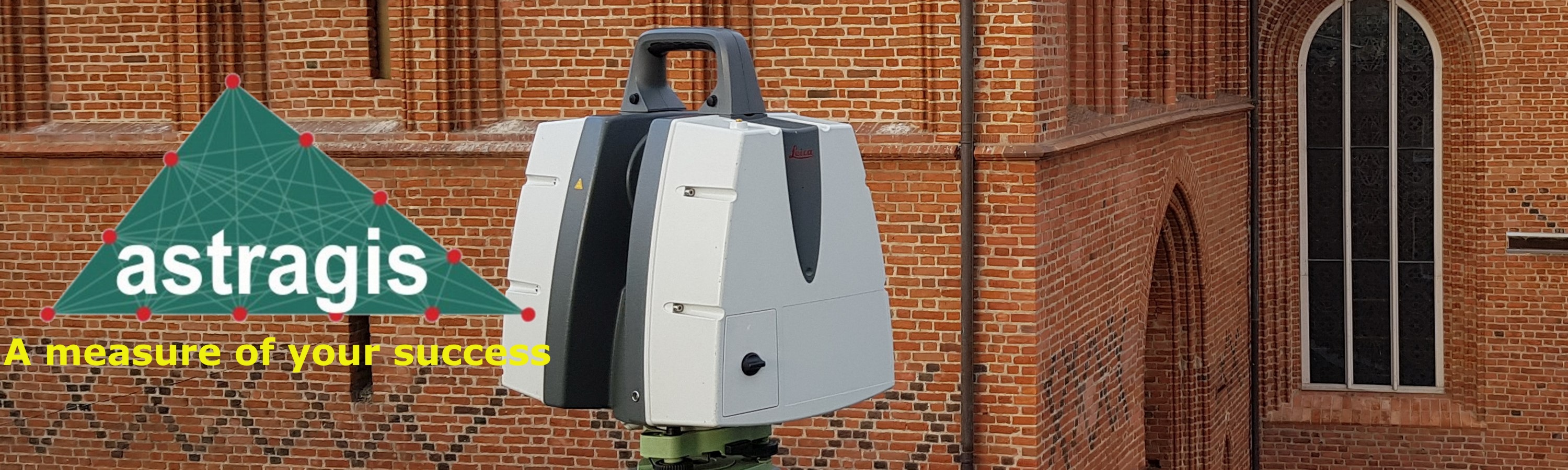
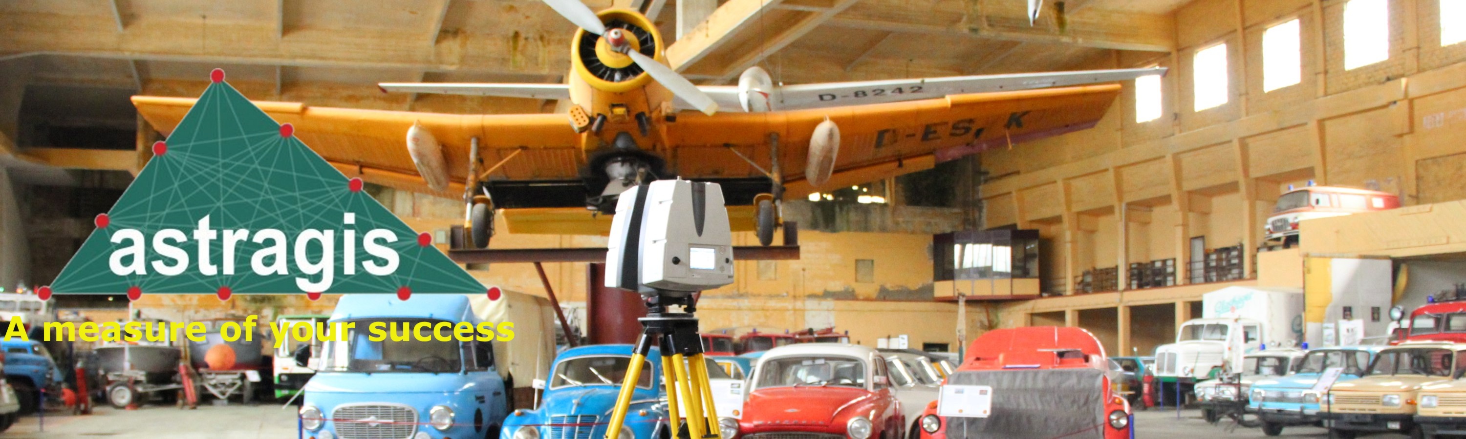
ASTRAGIS provides comprehensive surveying services for the architectural, design, construction, and engineering industries. With over 20 years of experience in laser scanning and photogrammetry, we have earned our clients’ trust by successfully delivering even the most demanding projects. Our team of qualified surveyors and photogrammetry specialists combines professional expertise with advanced technology to ensure the highest standards of accuracy and quality.
Services
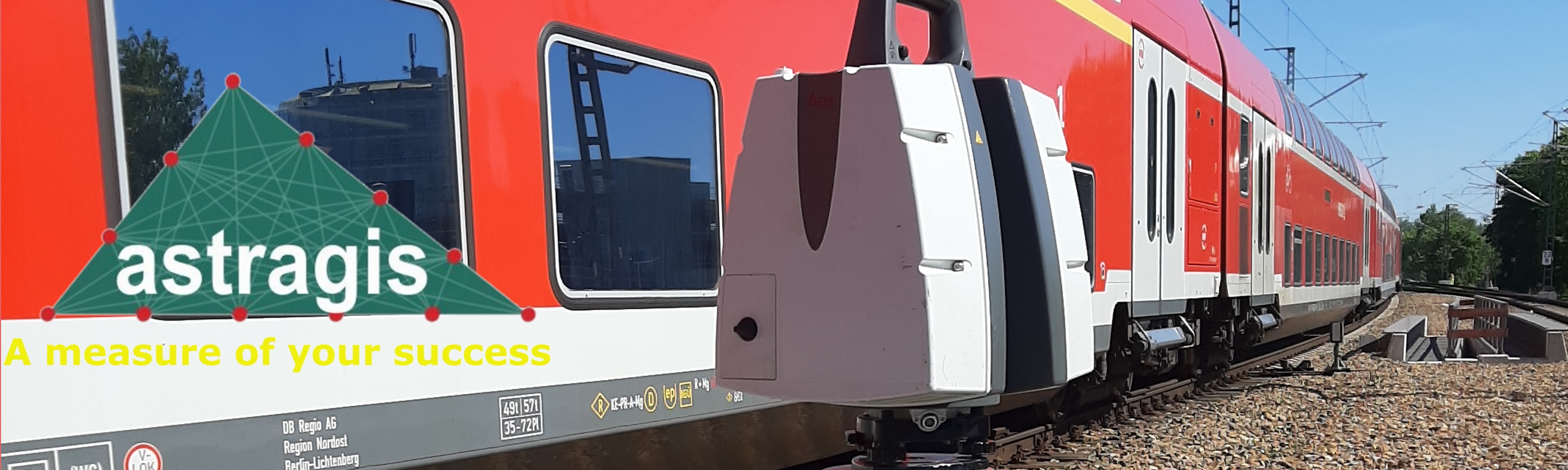
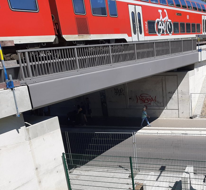
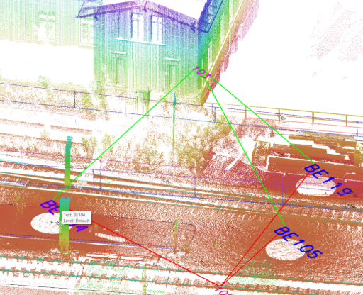
Measurements of bridge structures and viaducts, both road and railway infrastructure. more...
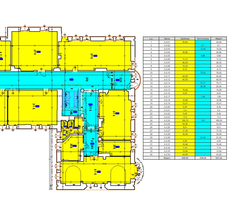
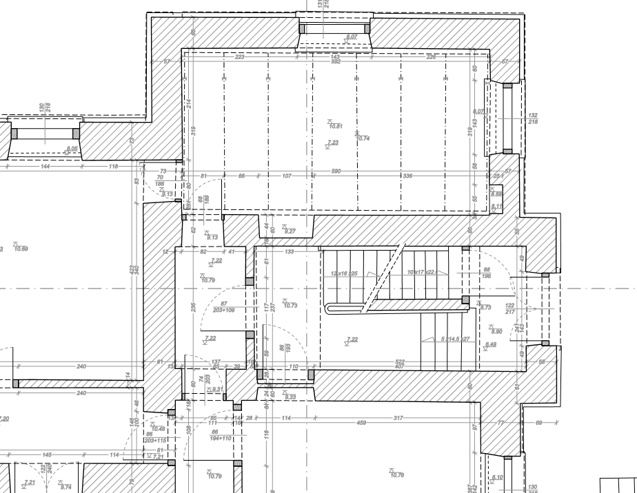
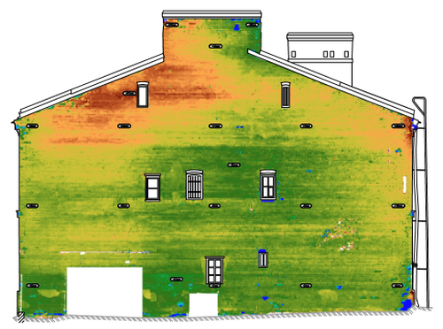
Measured building surveys. Floor plans, cross-sections and elevations, 2D drawings and 3D models. Our offer for developers primarily includes the measurement of usable floor areas, as well as the inspection of façades, ceilings, and floors more...
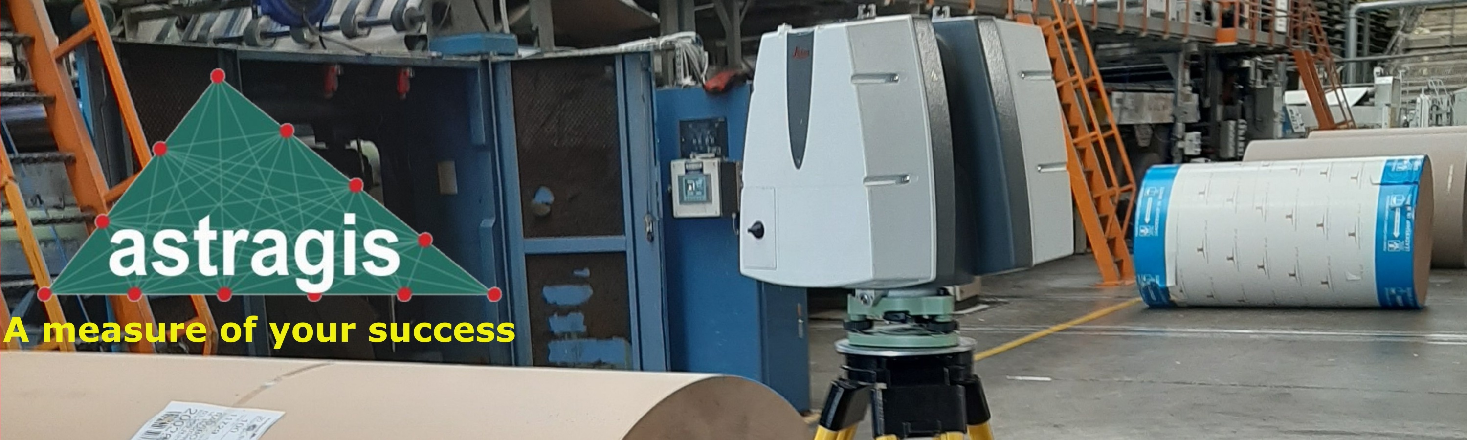
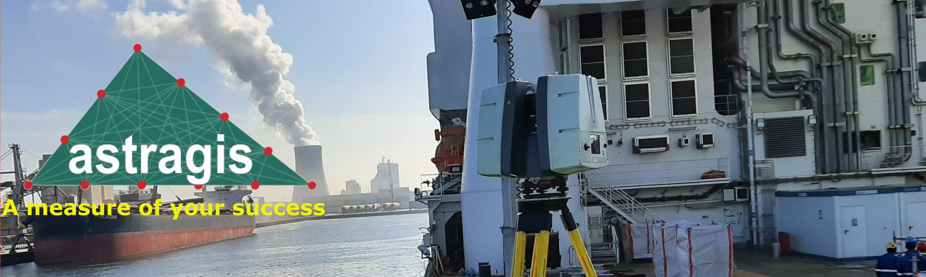
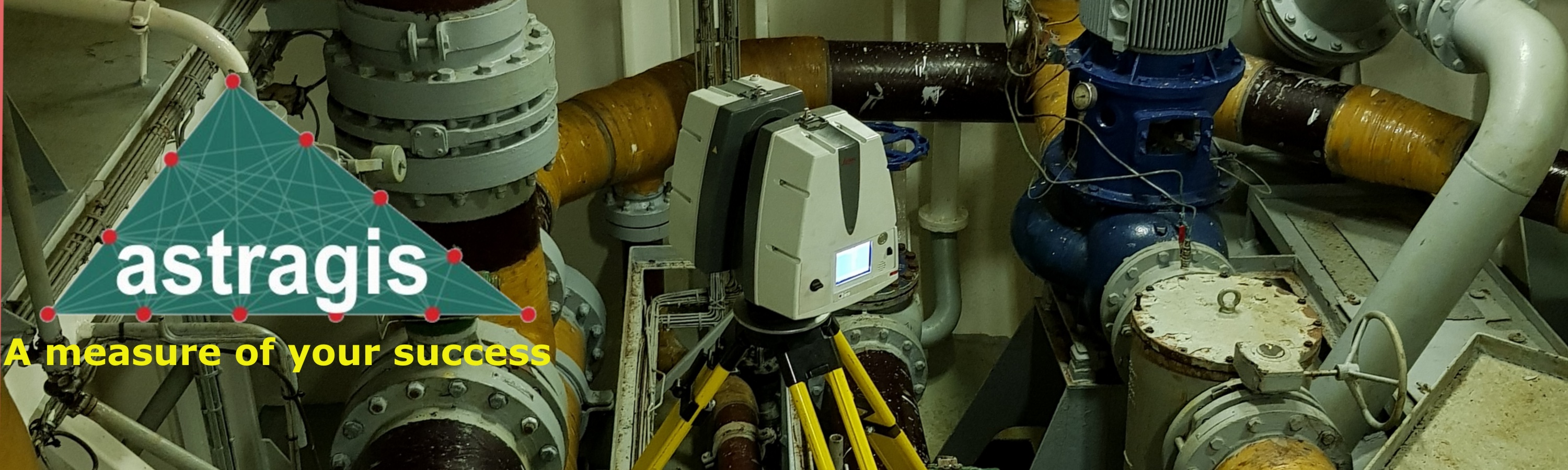
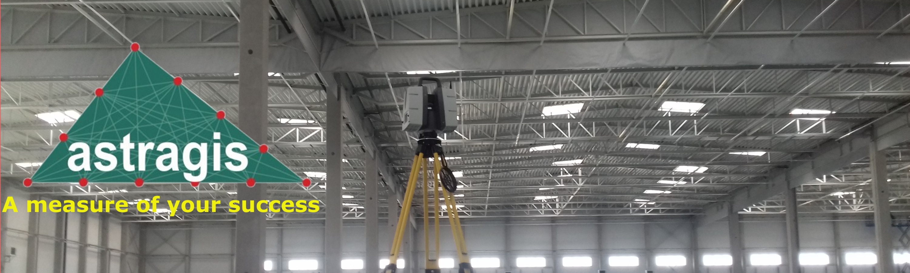
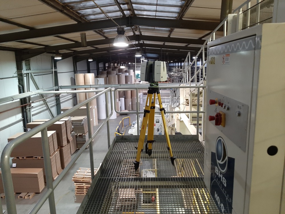
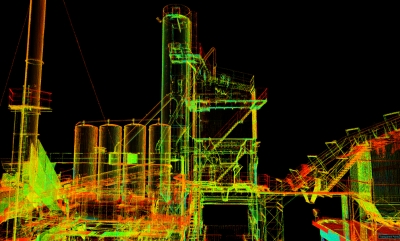
Industrial facilities. Accurate point clouds, drawings as well as 3D models. Required for maintenance operations and relocation. Surveys of production and warehouse facilities. Floor flatness testing. more...
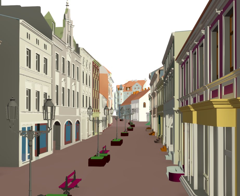
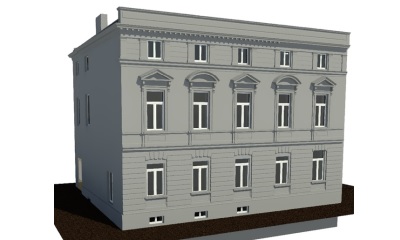
High-precision facade models of individual buildings and entire urban areas, including support for right to light assessment and compliance studies. more...
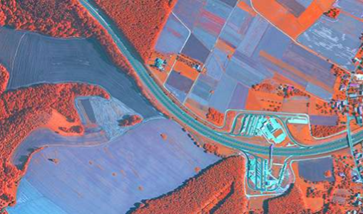
Aerial photogrammetry services for generating high-quality city models, orthophoto maps, DTMs, vector maps, and thematic maps. more...
What we do
The key elements are scanning, data processing, and registrationmore...