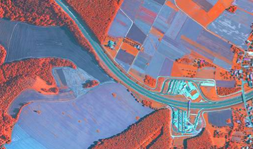
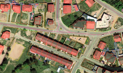
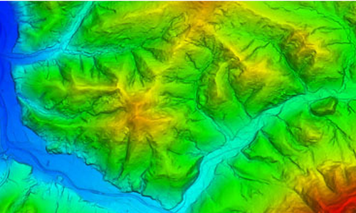
We have been collaborating with TISS, a specialist in photogrammetric data processing, for a long time. Operating since 2001, TISS offers services such as the creation of orthophoto maps, oblique photoplans, digital terrain models, building models, and various thematic maps based on aerial imagery.
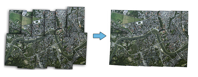
Through this collaboration, we combine our expertise in laser scanning and 3D modeling with TISS`s advanced data processing solutions. Together, we provide comprehensive photogrammetric solutions, including orthophoto maps and terrain models. We also develop advanced 3D building models. The software we create significantly streamlines and accelerates the process of constructing spatial city models from data acquired during stereoscopic measurements on photogrammetric stations.
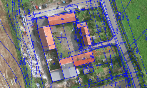
Our partnership enables us to deliver services that not only meet the highest quality standards but are also tailored to the dynamically changing market demands. By integrating our competencies in laser scanning and 3D modeling with TISS`s experience in photogrammetric data processing, we provide comprehensive support for projects related to spatial data analysis and presentation.
WWW.TISS.PL