This website uses cookies for analyzing traffic and improving user experience through Google Analytics. These cookies help us gather information about how you use our site. Your data is anonymized and is not used to identify users. Do you agree to the use of analytical cookies?
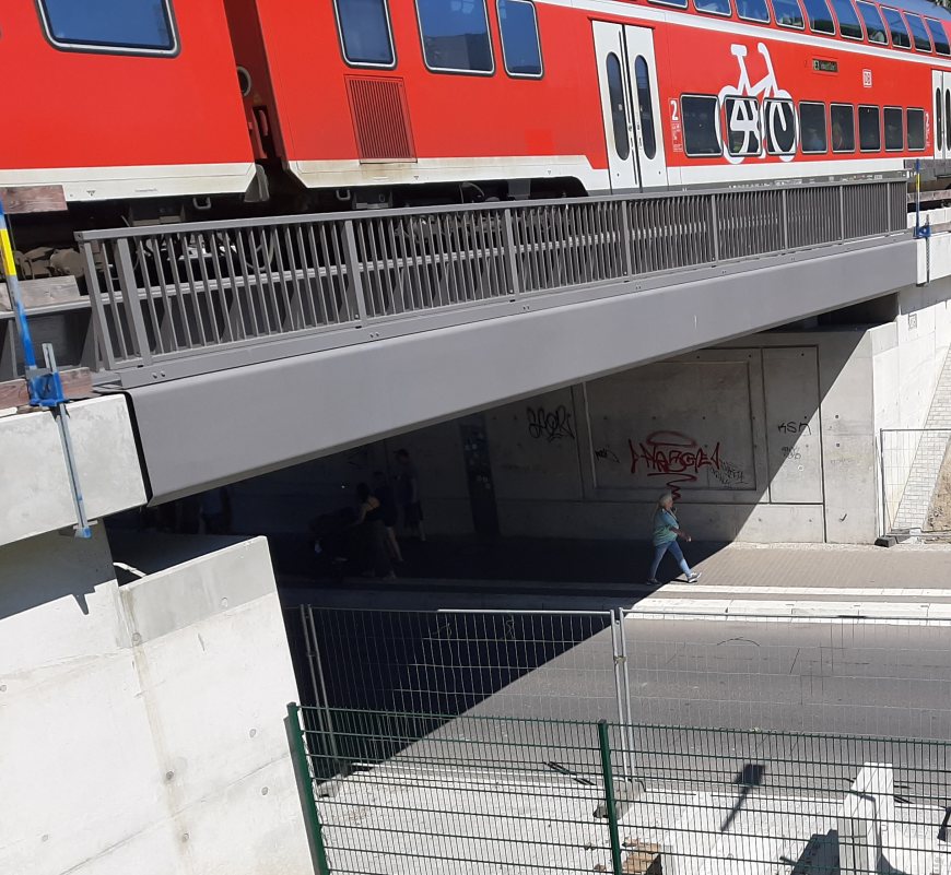
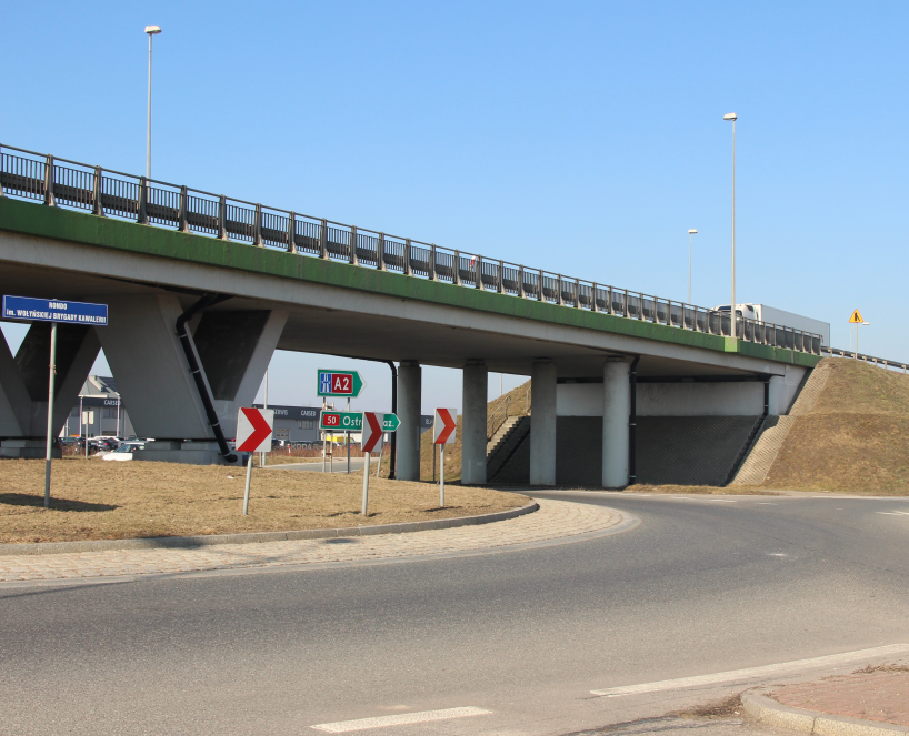
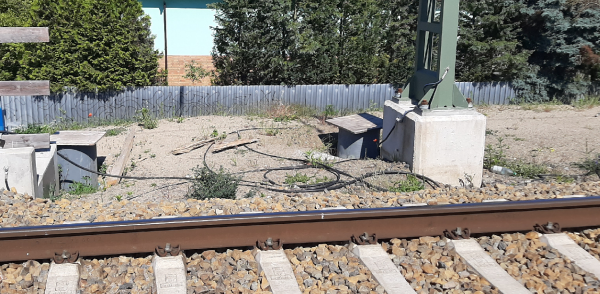
3D laser scanning enables us to deliver advanced studies and documentation for road construction and railway infrastructure projects.
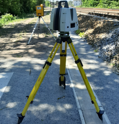
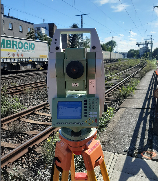
We perform measurements using state-of-the-art, high-precision laser scanners, primarily the Leica ScanStation P40, which ensures exceptional accuracy and performs reliably in field conditions.
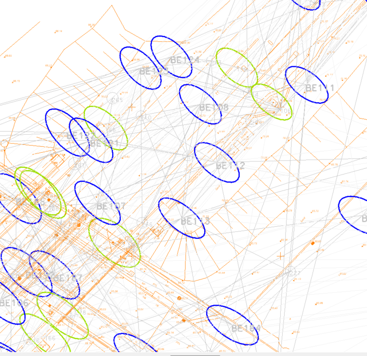
The acquired scans undergo a registration process during which station coordinates
and all parameters required for further processing of the point cloud are determined.
Our calculations are based on geodetic methods that guarantee reliable quality assessment, including the analysis of station error ellipses.
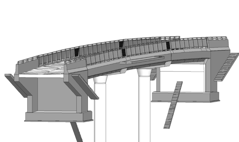
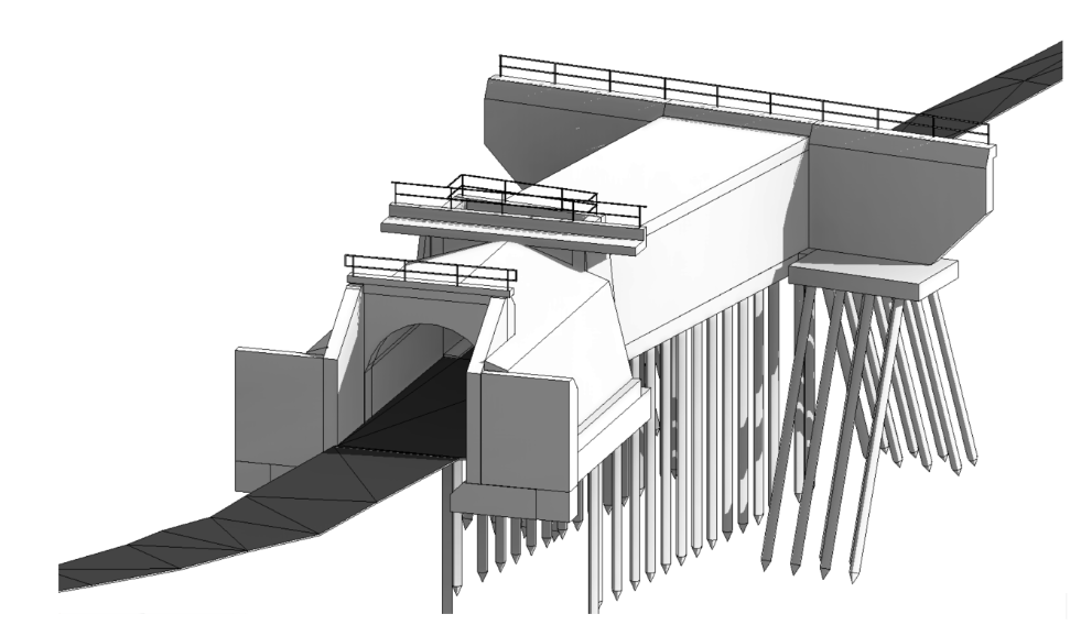
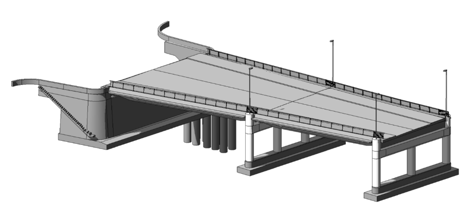
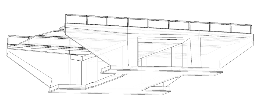
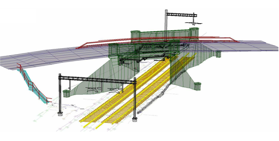
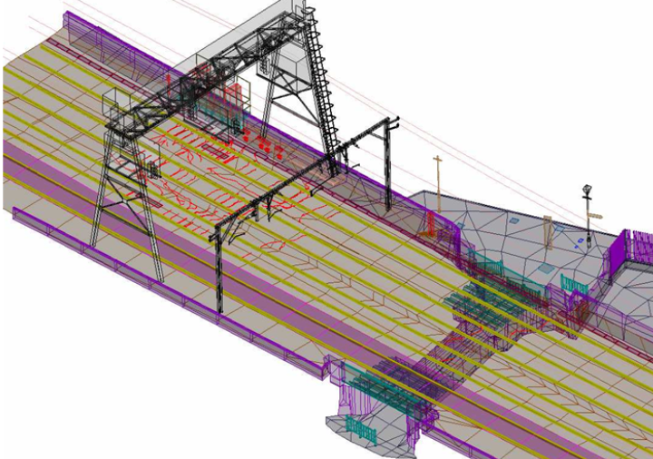
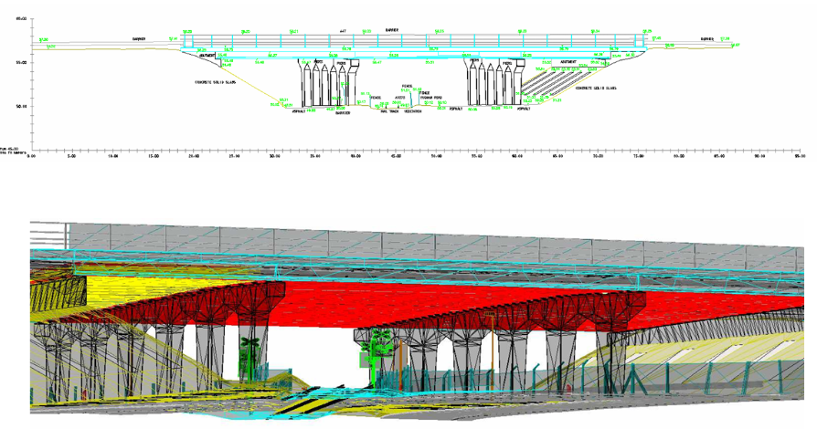
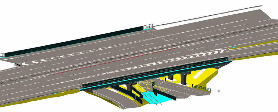
We provide 3D/BIM models of bridges and viaducts, cross-sections and elevations,
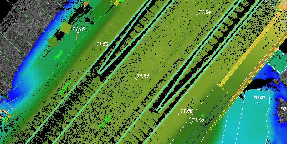
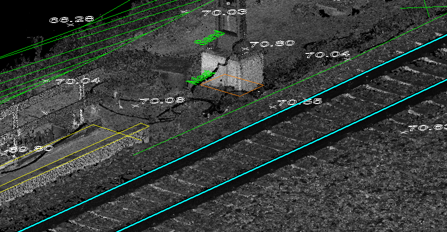
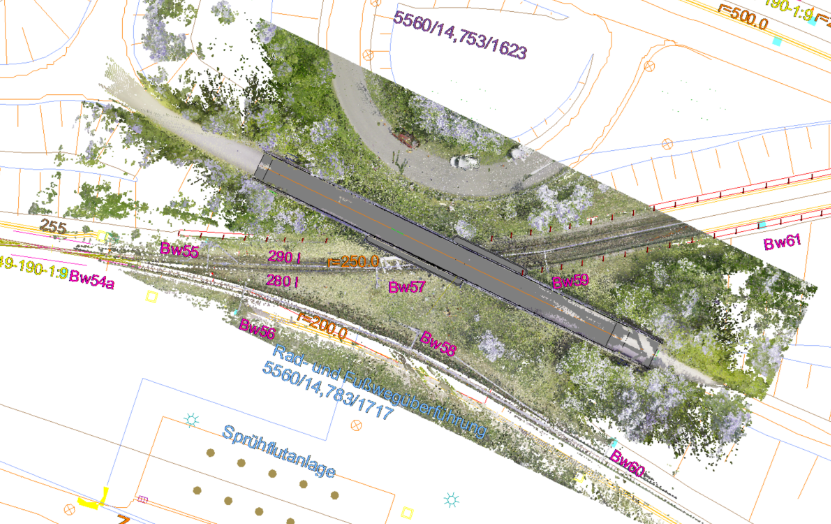
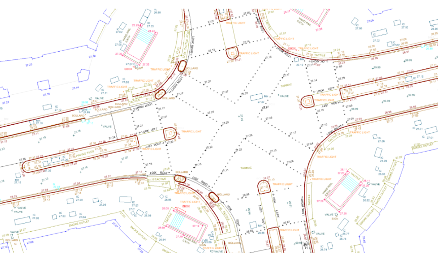
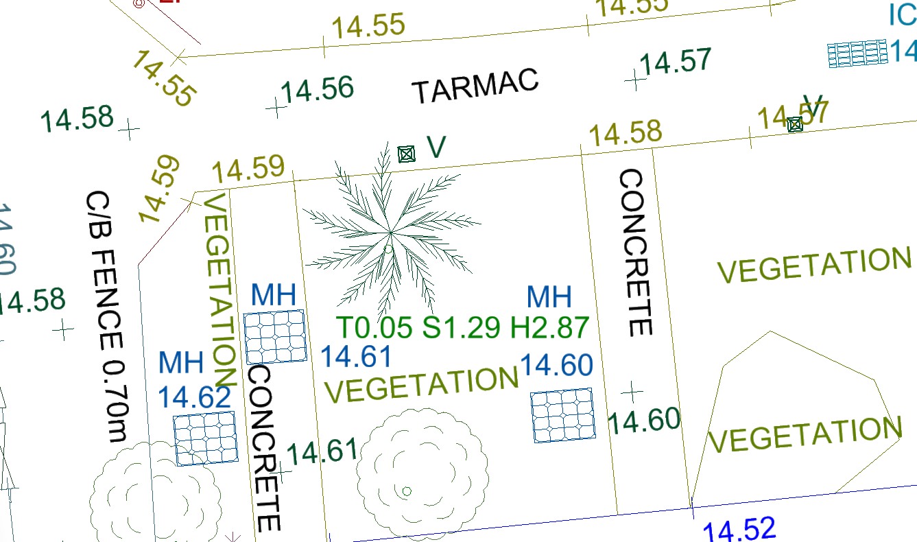
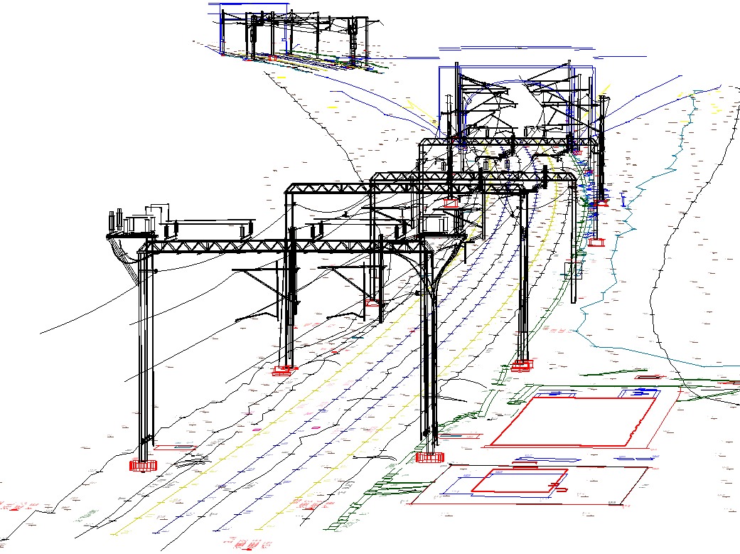
as well as 2D and 3D maps of railway and road areas.